Humanitarian organizations and journalists have expressed concerns after a leading satellite imagery company informed its users that it was restricting access to images of Iran and large parts of the Middle East, following a request from the US government.
California-based Planet Labs initially introduced a 14-day delay on providing new imagery from the region in March. It has since shifted to an indefinite restriction.
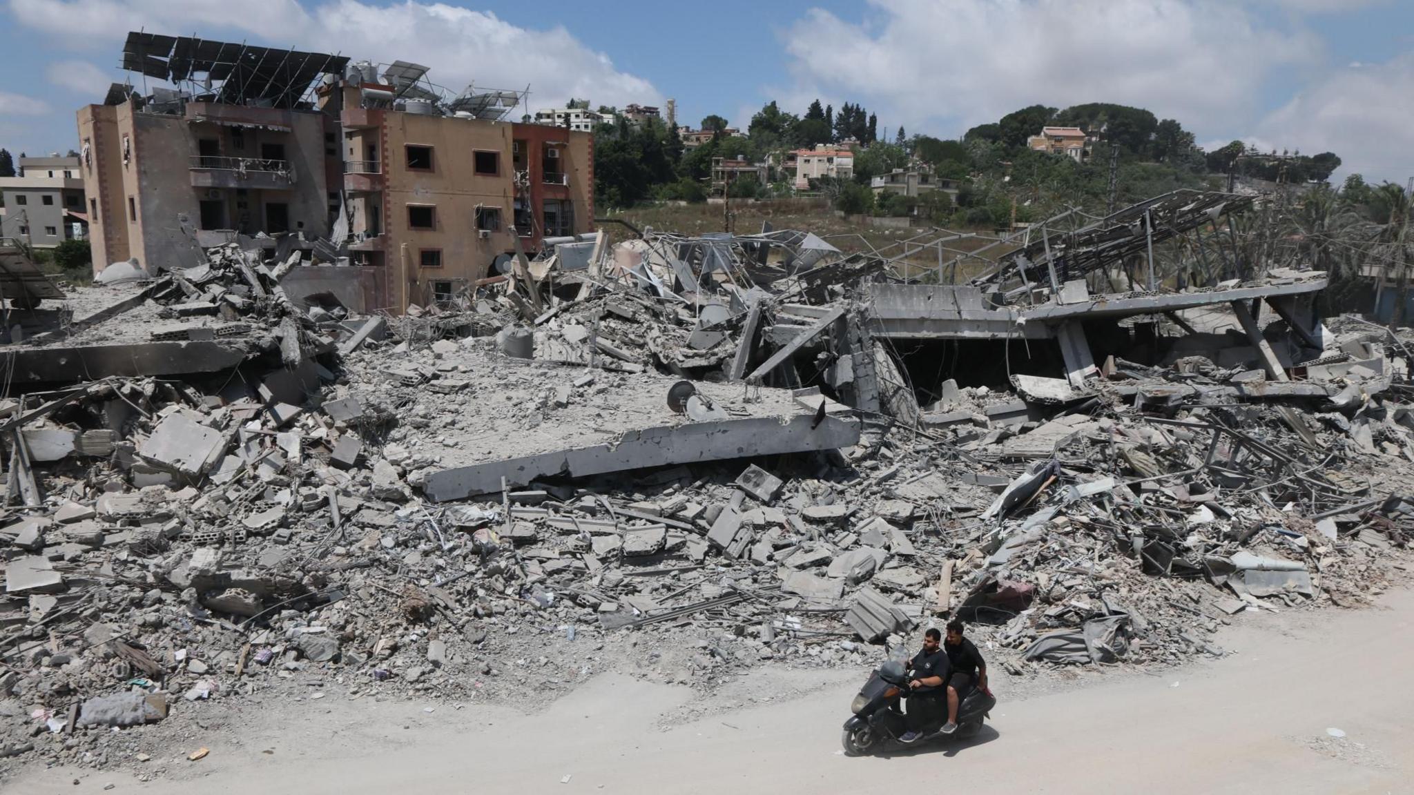
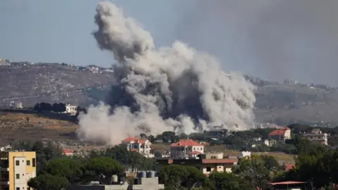
This decision limits how journalists, humanitarian groups, and analysts can use satellite images to assess the impact of the ongoing US-Israel conflict with Iran, including potential damage to military targets and civilian infrastructure.
The motivations behind the US's request for Planet to suspend its coverage remain unclear, as the Department of Defense did not respond to inquiries regarding the matter.
Planet originally stated its 14-day delay was to prevent adversarial actors from leveraging the imagery to target allied personnel. The company has transitioned to a policy of managed distribution, sharing selected images on a case-by-case basis until security risks are resolved.
Restrictions appear to apply across most of the Middle East, including Iraq, Lebanon, Israel, and Gaza. Experts indicated that these voluntary compliance requests often stem from commercial incentives tied to military contracts.
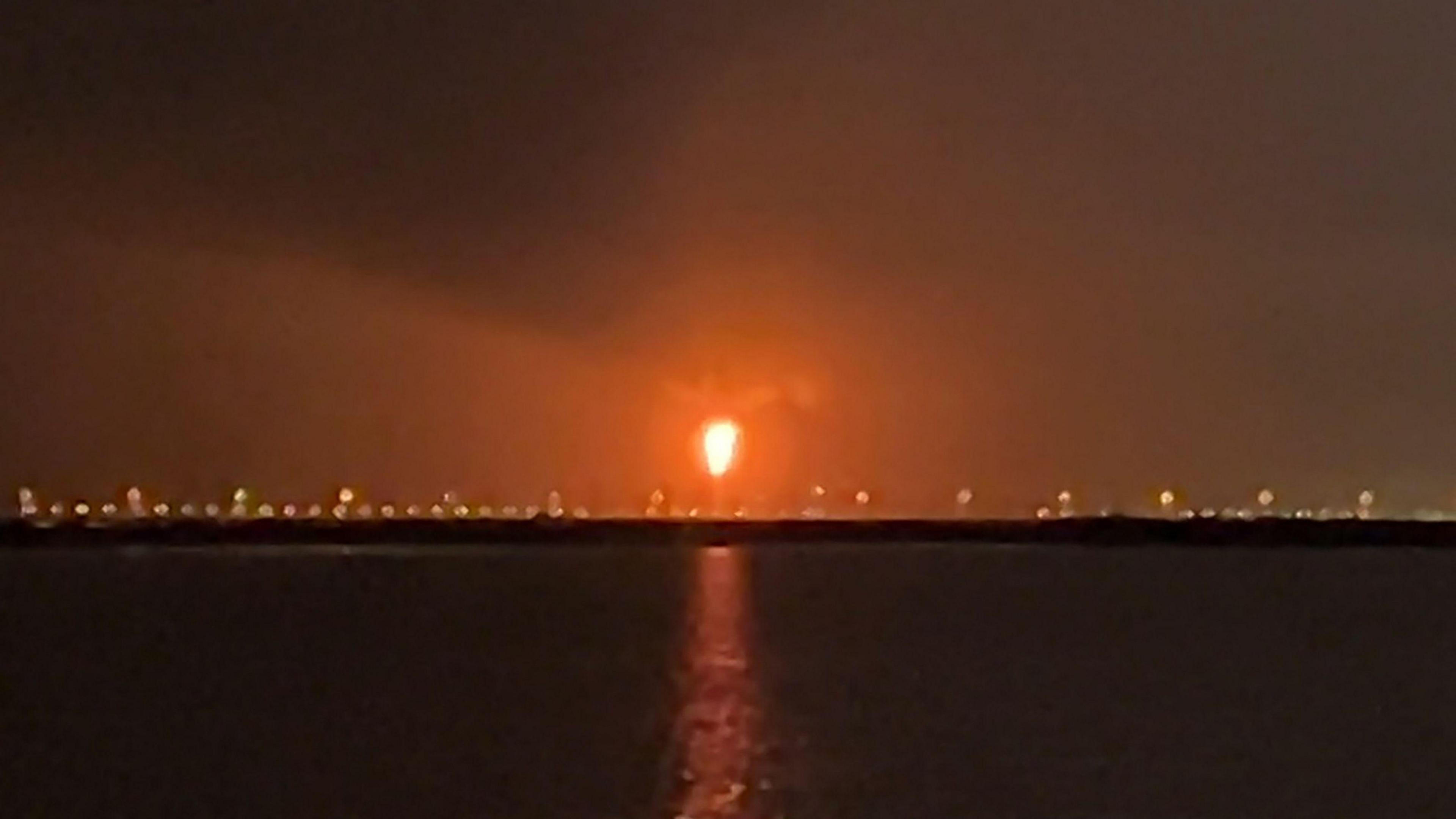
Planet's imagery has been crucial for reporting in conflict zones, highlighted by recent coverage of a US strike on a school in Minab, Iran. However, images from after March 9 are no longer routinely available to the company's clients.
Investigative journalist Benjamin Strick noted that satellite imagery is particularly important in conflict zones where reporters are unable to access safely or where information is tightly controlled.
Planet Labs' model supports a significant collaboration with the US defense sector, and while other companies like Vantor have military obligations, they have not faced similar restrictions on Iranian imagery.
The reliance on satellite imagery affects humanitarian efforts as well. Organizations such as Oxfam utilize satellite images to manage logistics during crises, ensuring they can address urgent needs such as water sanitation amidst the inability to conduct on-site assessments.
In absence of Planet’s services, news organizations have sought imagery from other providers, though the resolution and coverage have significantly diminished. As geopolitical tensions persist, analysts anticipate these restrictions will become more common, even if ultimately ineffective as new satellite providers emerge globally.