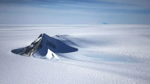
A new map has unmasked the landscape beneath Antarctica's ice in unprecedented detail, something scientists say could greatly enhance our understanding of the frozen white continent.
Researchers used satellite data and the physics of how Antarctica's glaciers move to work out what the continent might look like beneath the ice. They found evidence of thousands of previously undiscovered hills and ridges, and say their maps of some of Antarctica's hidden mountain ranges are clearer than ever before.
While the maps are subject to uncertainties, the researchers believe the new details could shed light on how Antarctica will respond to climate change - and what that means for sea-level rise.
Dr. Helen Ockenden, the lead author of the study, described the findings as a transformation in understanding, akin to switching from a grainy pixel image to a vibrant digital one. The researchers now present what is considered the most complete map of Antarctica's topography beneath the ice, offering clearer insights into features like the deep channels and mountain ranges that influence ice movement.
With traditional measurement techniques leaving gaps for exploration, this new method combines satellite observation with understanding of ice dynamics, revealing previously unknown geological formations and their potential impacts on future sea-level scenarios.