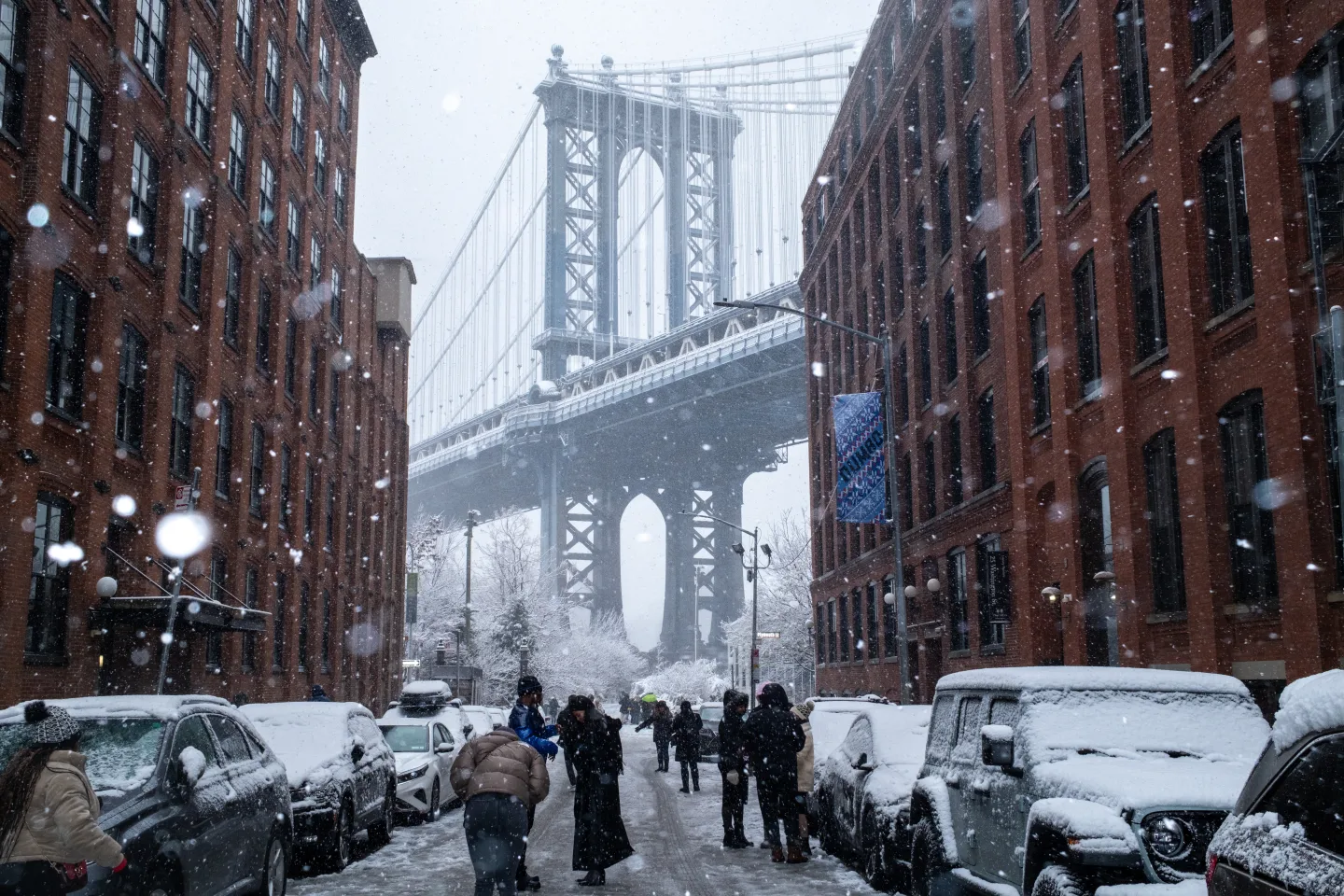
A powerful winter storm is sweeping east from the Plains on Sunday, driven by what meteorologists describe as an intense cyclone, setting off a chain reaction of snow, ice, rain, and severe weather expected to affect much of the country.
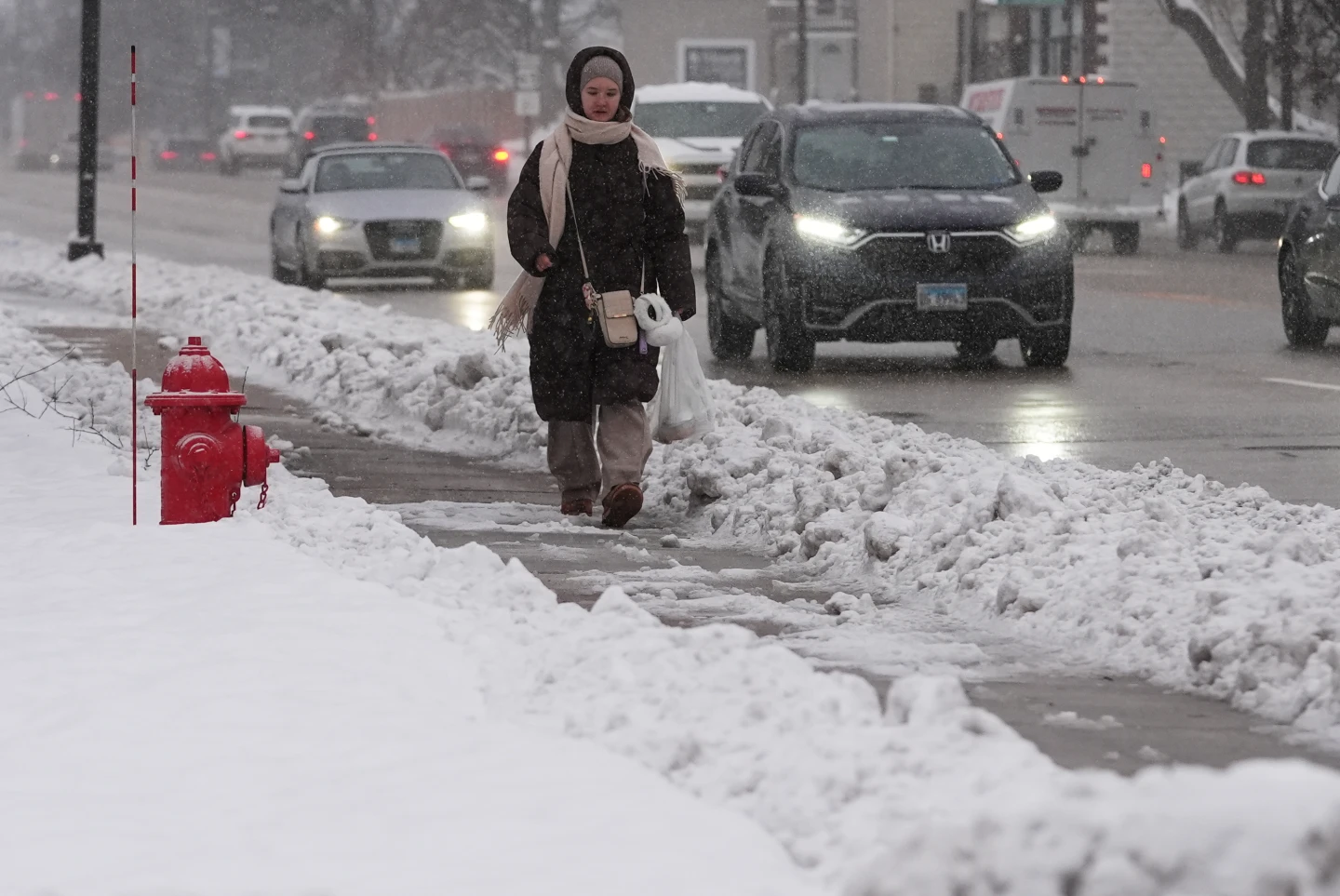
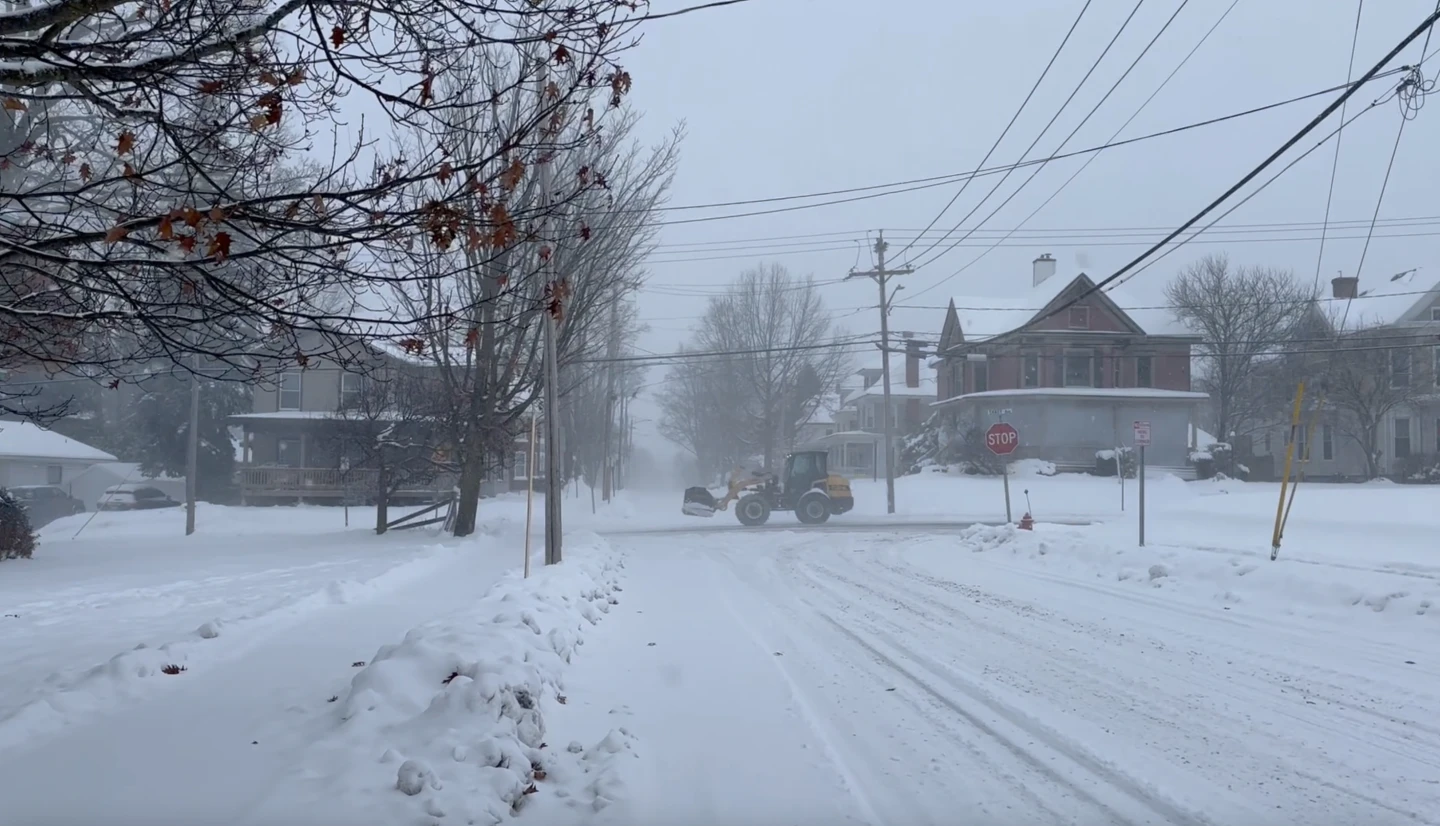
Snow and strengthening winds spread across the Upper Midwest, with the National Weather Service warning of whiteout and possible blizzard conditions that could make travel impossible in some areas. Snowfall totals are expected to exceed a foot in parts of the upper Great Lakes, with up to 2 feet possible along the south shore of Lake Superior.
Severe thunderstorms are anticipated in the South, indicating the arrival of a sharp cold front — dubbed a “Blue Norther” — bringing a sudden temperature drop and strong winds that will end several days of record warmth in the region.
Over the next 48 hours, the cyclone is expected to produce heavy snow and blizzard conditions in the Midwest and Great Lakes, freezing rain in New England, thunderstorms across the eastern U.S., and widespread strong winds. This storm is forming due to the clash of cold air from Canada and warm air lingering over the southern states.
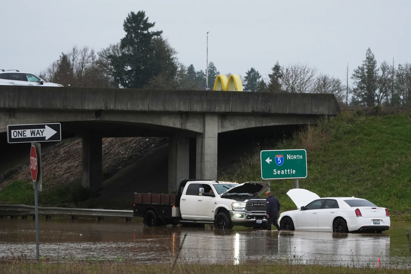
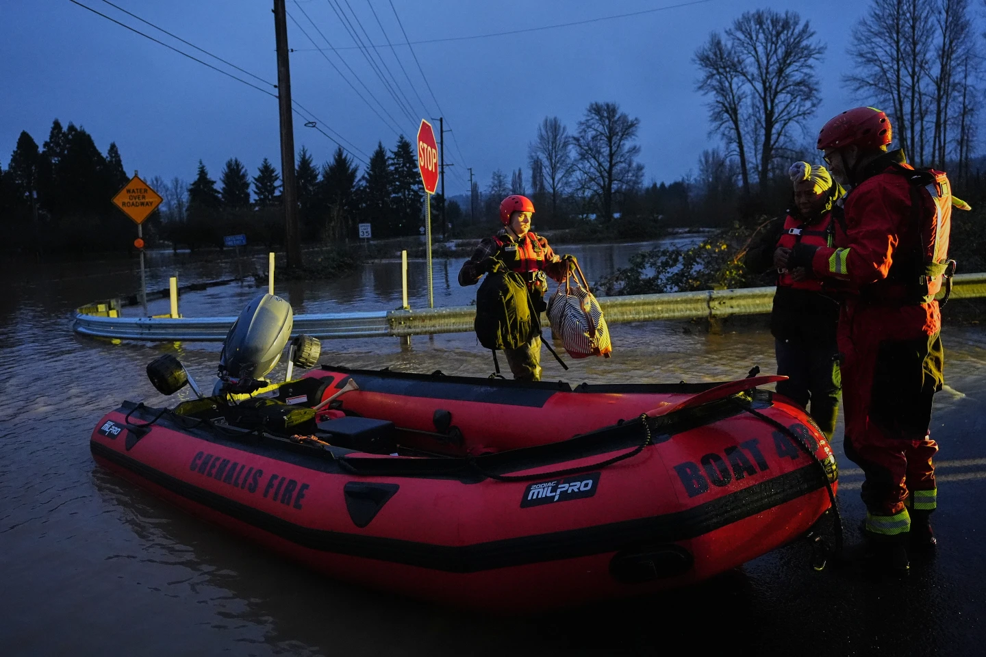
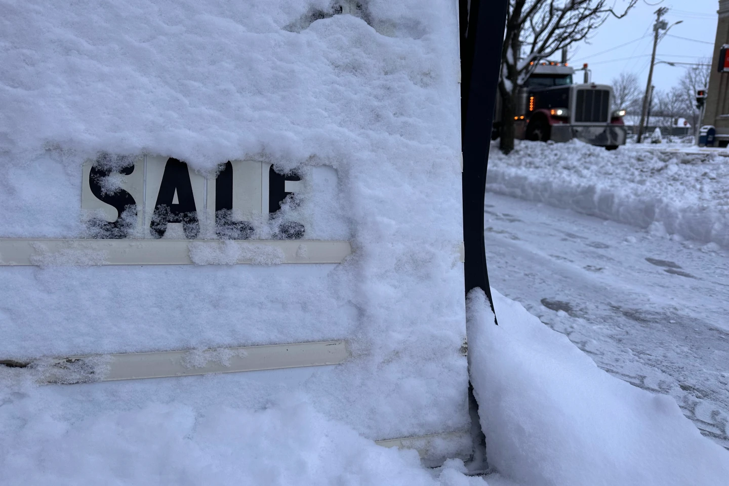
The storm follows a weekend filled with thousands of flight delays and cancellations across the Northeast and Great Lakes due to earlier snowstorms, leading to increased congestion at airports and on roads during the busy holiday travel period.
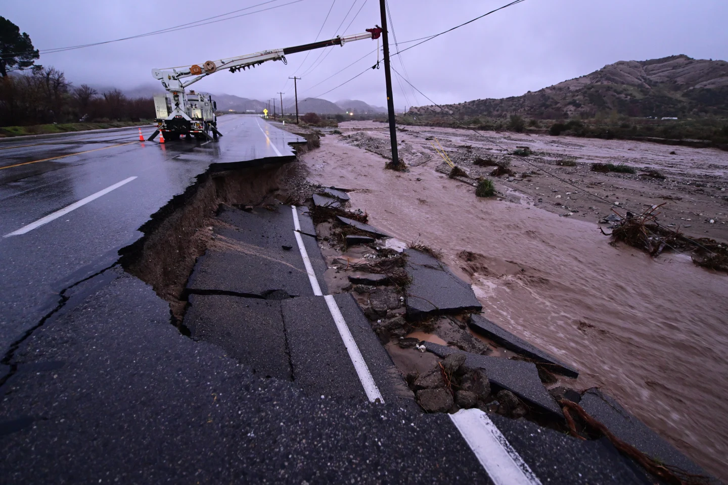
Meanwhile, California is experiencing a relatively calm weekend following recent powerful storms that resulted in heavy rains, flash flooding, and mudslides, which unfortunately claimed four lives.