A weekend storm sent temperatures plunging well below zero in the Midwest and dumped heavy snow on parts of the Northeast on Sunday, creating many airport delays and slick roads as the Pacific Northwest braced for more rain after days of flooding and mudslides.
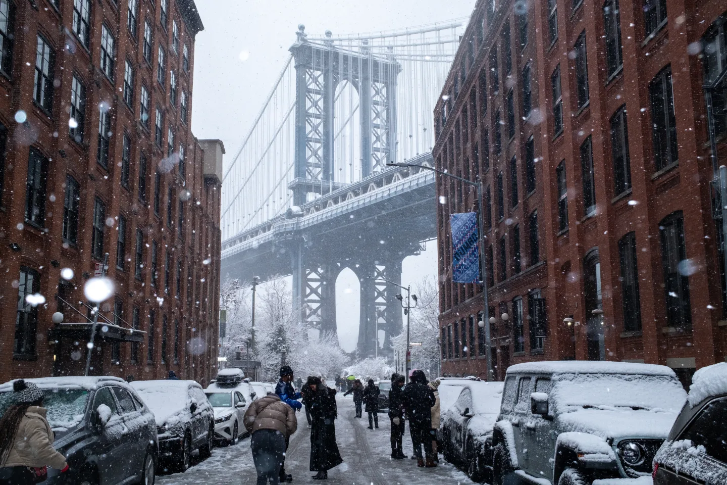
The storm began Saturday and brought up to several inches of snow in the New York-New Jersey metro area, marking the region’s first significant snowfall of the season. Light snow also fell over parts of New England. The storm is expected to weaken by Sunday night, giving way to arctic conditions with overnight windchill temperatures dropping to or below -18°C.
Crews and contractors were actively plowing and treating roads in New Jersey, where the state Department of Transportation advised residents to avoid unnecessary travel. Salt spreaders worked overnight to clear snow from roads and bike lanes, as indicated by the New York City Department of Sanitation. Similarly, Pennsylvania temporarily reduced speed limits on interstates to 45 mph due to the adverse weather.
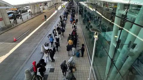
The impact of the storm on air travel was substantial, with over 1,000 flights delayed and more than 100 cancellations reported according to FlightAware, a flight tracking site.
In the Midwest, the cold snap was severe, with the National Weather Service in Chanhassen, Minnesota, stating that Sunday was the coldest morning of the season thus far - with temperatures reaching -10°F at Minneapolis-Saint Paul International Airport, and as low as -22°F recorded in some communities.
As the weather patterns evolved, the Pacific Northwest, which has already suffered from catastrophic flooding leading to numerous evacuations, was expected to face more rain and wind conditions by late Sunday.