MIAMI (AP) — A weather system that is forecasted to strengthen into Tropical Storm Imelda later today is already causing disruptions across the Bahamas and nearby islands as it makes its way toward South Carolina. Meanwhile, Hurricane Humberto has weakened a bit but sustains itself as a formidable Category 4 storm, posing a threat to Bermuda.
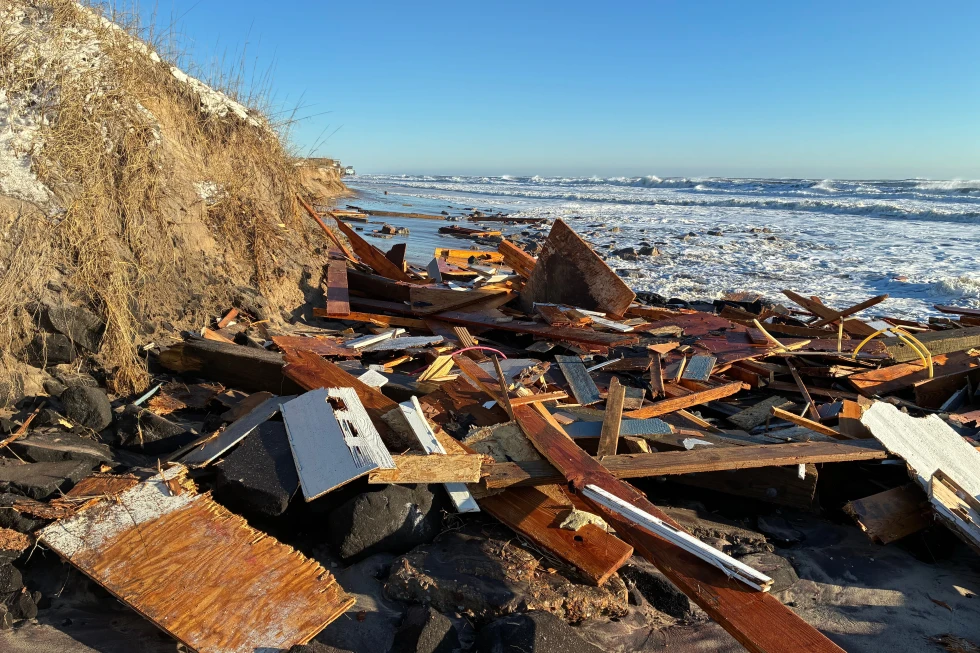
In anticipation of the incoming weather, South Carolina Governor Henry McMaster has emphasized the need for residents to closely monitor conditions, labeling the storm as 'deadly serious.' North Carolina Governor Josh Stein has also declared a state of emergency ahead of the impending storm.
The latest forecasts indicate that the weather disturbance, currently referred to as Tropical Depression Nine, could become a tropical storm by later today, receiving the name Imelda. At 0900 GMT, the depression was located approximately 100 miles west-southwest of the Central Bahamas and was traveling north-northwest at 7 mph with maximum sustained winds of 35 mph.
Governor McMaster shared vital insights during a news conference, advising that severe winds and heavy rains are likely to bring potential flooding to the region. Consequently, search and rescue teams are being strategically positioned throughout the state.
Hurricane Humberto Drifting Towards Bermuda
Although Hurricane Humberto has experienced a slight decrease in strength, it still boasts maximum sustained winds of 155 mph. This hurricane is currently situated about 585 miles south of Bermuda, traveling west-northwest at 13 mph. Officials have warned a tropical storm watch may soon be required for Bermuda, with surf swells likely affecting the U.S. East Coast by Monday. Areas in Cuba and the Bahamas are advised to stay alert due to possible heavy rainfall and flash flooding.
The Bahamas' Department of Meteorology has urged residents to finalize preparations for the forthcoming tropical storm conditions, especially in vulnerable low-lying areas where flooding may occur. Meanwhile, the Dominican Republic has experienced severe weather from the disturbance, leading to evacuations and state alerts.
Tropical Storm Narda in the Pacific
In the Pacific, former hurricane Tropical Storm Narda is situated approximately 1,045 miles from the southern tip of Mexico's Baja California Peninsula, heading north at 5 mph with maximum winds of 60 mph. Narda's swells have reached coastal regions, increasing the risk of dangerous surf and rip currents in Southern California.
As weather developments unfold, officials across affected states and regions are advising residents to stay vigilant and prepared for potential emergencies.