CHICAGO (AP) — A wave of Arctic air is sweeping across much of the U.S. as forecasters predict snow and plunging temperatures, including a significant drop in Florida. The National Weather Service warns that this cold snap may reach record low temperatures particularly in the Southeast where temperatures were nearly 80°F just days before.
The frigid air will make its way into the Great Plains and is expected to bring wind gusts alongside red flag warnings for various regions. The Great Lakes and Appalachian Mountains are predicted to see between 4 to 8 inches of snow, raising concerns of severe weather impacts.
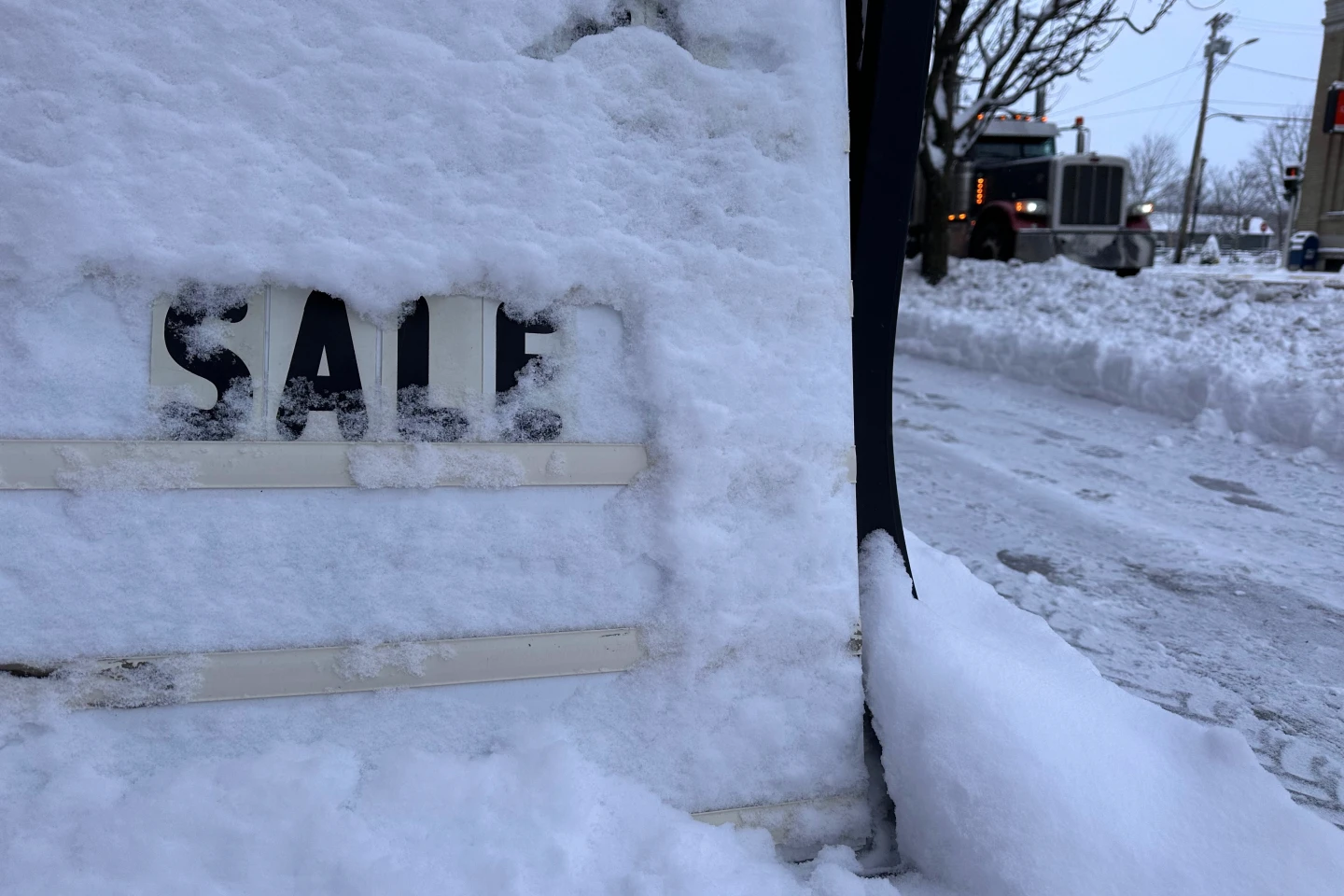
Areas around Lake Erie are under alert for lake effect snow, which can lead to intense localized snowfall. Dangerous travel conditions are anticipated in parts of the Midwest, especially in Illinois where snow is expected at rates exceeding 3 inches per hour.
Florida will experience wind chills in the 30s°F, triggering concerns about iguanas, which fall from trees during extreme cold. The weather system poses risks for road travel with hazardous conditions noted across Michigan, Indiana, and Wisconsin, as both snowfall accumulation and visibility issues are anticipated.
Warnings have been issued for freezing temperatures stretching from Texas to Alabama, marking the end of the growing season across the southern regions. Residents are advised to take precautions to safeguard plants as nighttime temperatures are set to fall significantly.