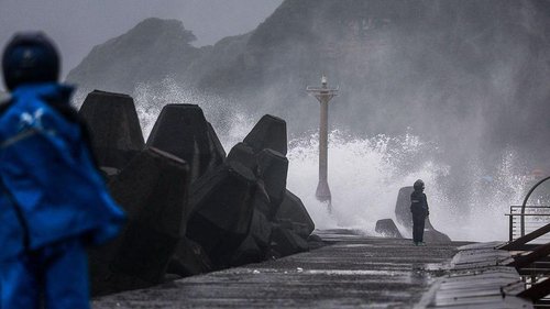

The 5.4‑magnitude earthquake that jolted the northeast coast of Honshu, Japan, struck at 12:07 a.m. local time on Wednesday, Oct. 29, 2026, according to a Japan Meteorological Agency alert. The quake was felt throughout Chiba Prefecture and neighboring regions, and it prompted no tsunami warning. The initial shake began in the early‑morning hours just after midnight.
The German Research Centre for Geosciences (GFZ) confirmed the event the following day, citing a 15:07 GMT timestamp, which corresponds to the same local time. GFZ identified the epicenter at 35.67° N, 140.59° E with a focal depth of 49.4 km. The agency calculated a final magnitude of 5.4, the same as the preliminary figure released by Japanese authorities. This agreement supports the reliability of both instrument networks.
Kyodo News, reporting the Japan Meteorological Agency (JMA) update, noted a preliminary magnitude of 5.5, which the JMA subsequently lowered to 5.4. The agency measured the depth as about 52 km and positioned the epicenter in the eastern Chiba region. The Kyodo article highlighted that shaking was felt across the prefecture, with a lower 5 intensity recorded in Yokoshibahikari, a coastal city in Chiba.
Both GFZ and JMA reported a seismic intensity of lower‑5 on the Japanese scale, the third level on the intracontinental seismic intensity scale. This level corresponds to “moderate” shaking, capable of rattling furniture but unlikely to cause structural damage in well‑built buildings. Residents in affected towns reported the tremor as a brief jolt, and municipal officials advised no immediate evacuation.
No tsunami warning was issued by either the JMA or the Japan Coast Guard, consistent with the depth and moderate intensity of the quake. The shallow‑to‑moderate depth and the well‑positioned epicenter less than 20 km offshore reduce the likelihood of significant seafloor displacement that could generate a coastal wave. The JMA reiterated that the seismic event posed “no immediate hazard” to the population.
Japan’s earthquake catalog includes dozens of seismic events each year, largely due to its location on the Pacific Ring of Fire. Historically, Chiba Prefecture has experienced several moderate quakes, the largest in the region during the 2011 Tohoku disaster. Those events have shaped building regulations and emergency preparedness protocols, which were likely activated during today’s quake, though the local authorities reported no major emergencies.
Open questions remain regarding the precise magnitude and depth. Early reports from GFZ were 5.4 at 49.4 km, while JMA's preliminary estimate was 5.5–5.4 at about 52 km. The differences stem from the divergent seismic networks and processing algorithms employed by the two organisations. Later, after data assimilation, the two agencies converged on the 5.4 figure, but analysts note that small variations are common for real‑time seismology.
Experts at GFZ stress that such moderate quakes are usually well monitored, but they can still reveal subtle fault mechanics. The region’s depth‑range suggests a normal faulting mechanism, which aligns with the known extensional tectonics of the area. Further study will determine whether the earthquake aligns with a known fault trace or whether it marks the opening of a new fault zone.
In the days following the event, the JMA will publish a detailed fault‑mechanism analysis, and the GFZ will likely release a refined epicenter location with a higher‑resolution dataset. Residents and officials will review their emergency plans and check the state of infrastructure, especially bridges and subway lines that cross the affected area. The event, while not catastrophic, underscores Japan’s ongoing vigilance against seismic hazards.