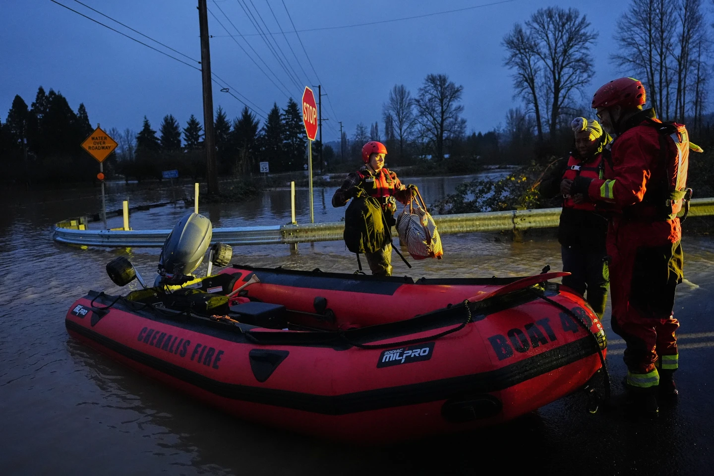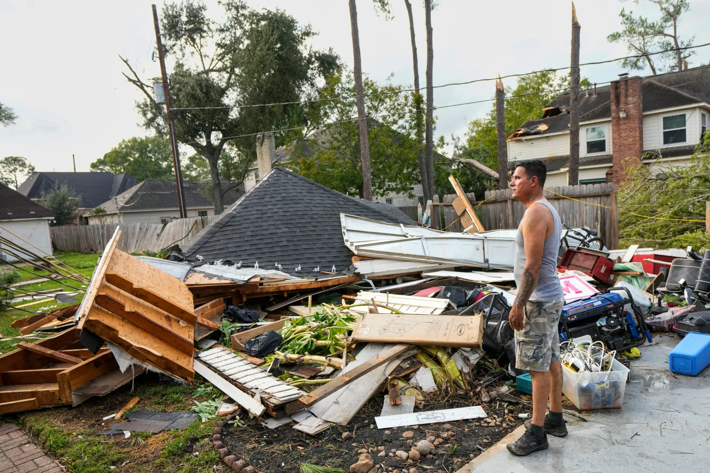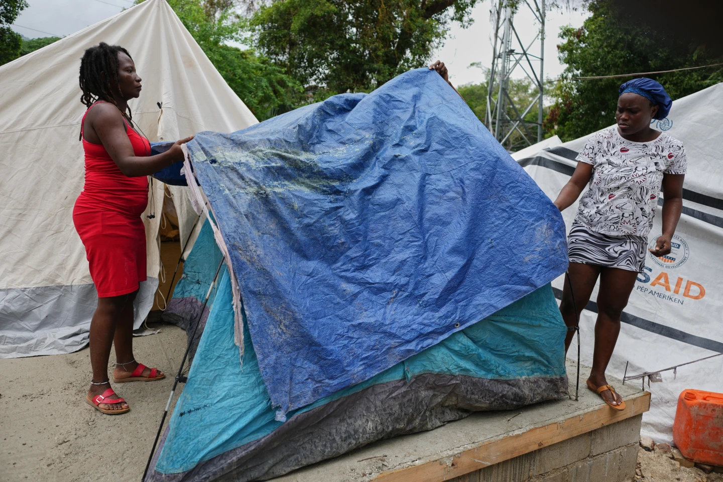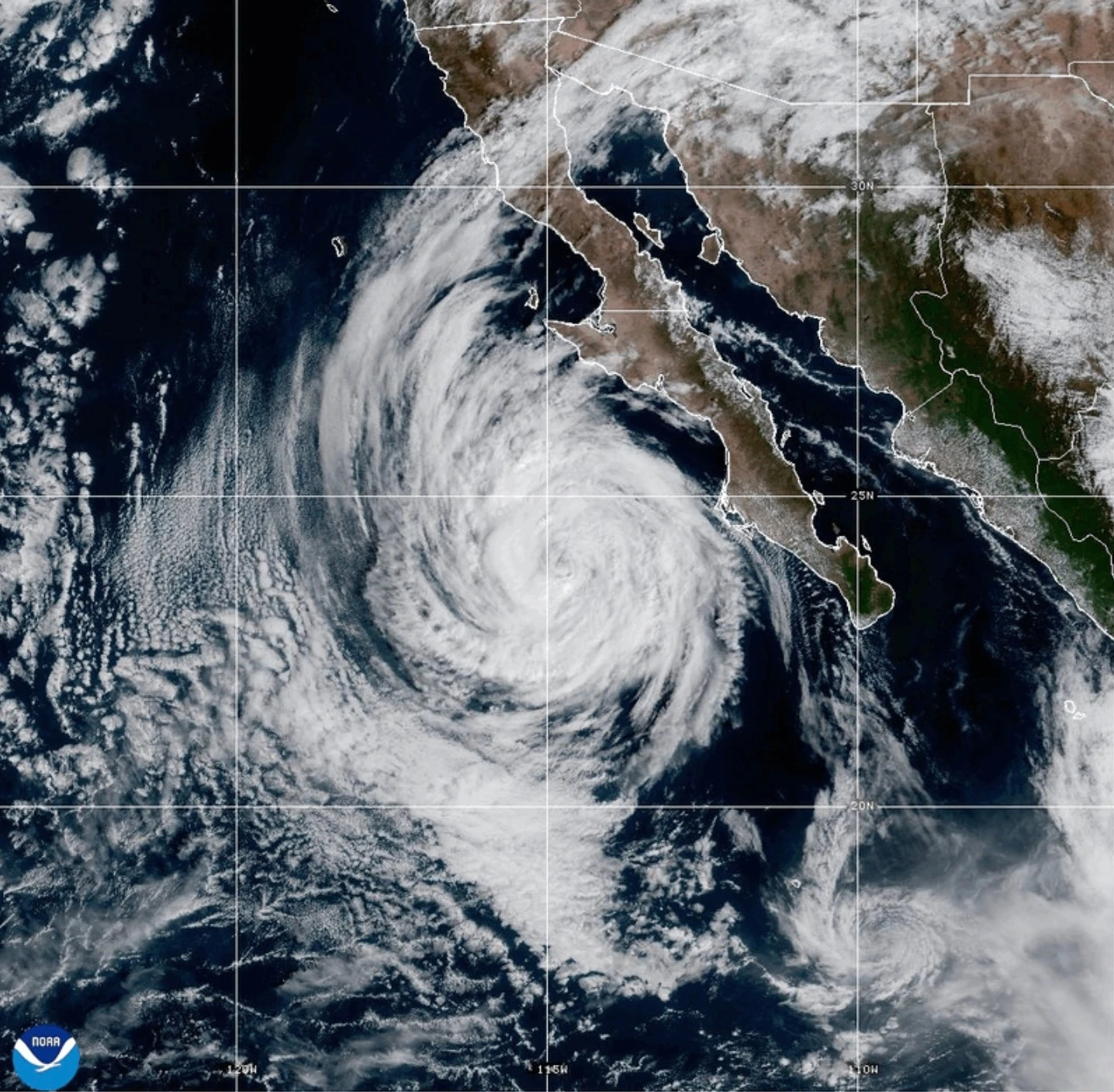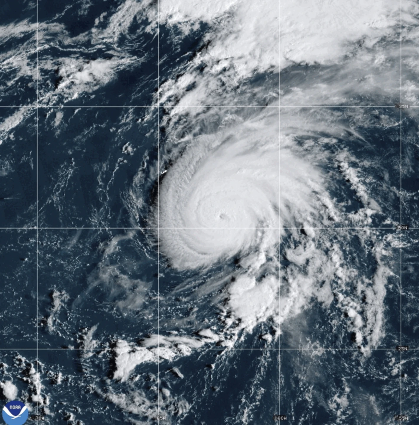
MIAMI (AP) — Hurricane Humberto has developed in the Atlantic Ocean, currently posing no threat to land. The storm formed as former Hurricane Gabrielle moved across the Azores. According to the U.S. National Hurricane Center based in Miami, Humberto is located roughly 465 miles (750 kilometers) northeast of the northern Leeward Islands and is advancing slowly northwestward, with expectations to strengthen significantly into a major hurricane over the weekend.
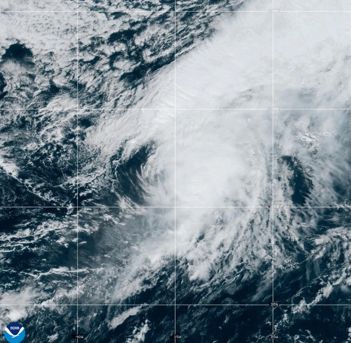
As for Gabrielle, it is now functioning as a post-tropical cyclone near the Azores, where a hurricane watch remains in effect for the entire Portuguese archipelago. As of Friday morning, Gabrielle was approximately 145 miles (230 kilometers) east-northeast of Faial Island in the Azores, showcasing maximum sustained winds of around 65 mph (100 kph) with higher gusts reported. It is anticipated that the system will start to weaken gradually starting Saturday, although coastal areas need to remain cautious due to tropical storm force winds extending up to 160 miles (260 kilometers) from the storm's center.
Previously identified as hurricane-level, Gabrielle's classification was downgraded due to the loss of traditional tropical storm characteristics, yet it may still produce severe weather impacts through today. Gabrielle’s swift east-northeastward motion continues, traveling at a speed of 29 mph (46 kph) and is forecasted to move away from the Azores, approaching mainland Portugal by Sunday.
Meanwhile, further south in the Pacific Ocean, Hurricane Narda has been categorized as a Category 1 storm but is predicted to regain intensity to Category 2. Fortunately, it is not anticipated to threaten any land masses and is expected to lose its strength in the ensuing days.