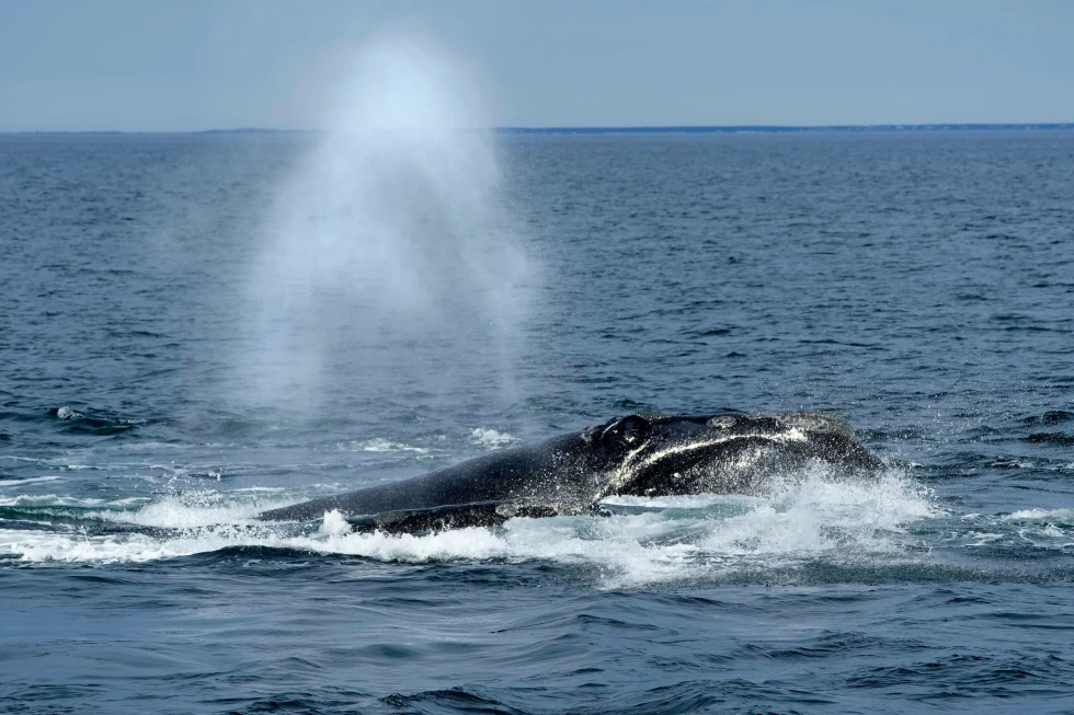
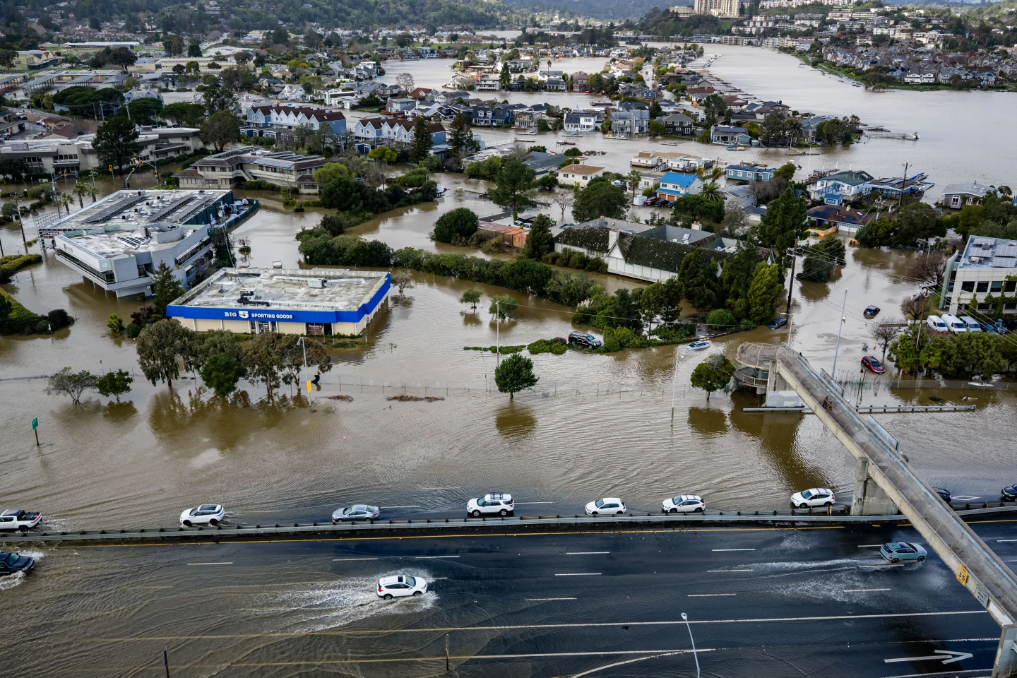
A satellite image recently captured the rapid intensification of Hurricane Erin, which now boasts maximum sustained winds reaching 160mph (260km/h). National Hurricane Center's Director Mike Brennan reported in a briefing that the storm has "explosively deepened" since it transitioned from tropical storm status late Friday. Currently, Erin's trajectory indicates it will pass north of the Leeward Islands, the Virgin Islands, and Puerto Rico this weekend, posing risks of up to 6 inches (15cm) of rainfall and the potential for flash flooding and mudslides. Marking its place in the 2025 Atlantic hurricane season, Erin is not expected to make landfall on the US mainland.
The rapid intensification process, which is defined as a storm gaining at least 34mph in just 24 hours, has been evident as Erin's winds surged from 100mph early Saturday morning. As the storm moves into next week, it is anticipated to gradually shift northward past the Bahamas and towards North Carolina's Outer Banks. In addition to the direct impacts of the storm, heightened surf and rip currents are expected along nearly the entire east coast of the United States next week, particularly affecting Florida and mid-Atlantic states. Mr. Brennan also cautioned that Bermuda could encounter dangerous surf conditions and heavy rain.
Due to sustained gale-force winds, the US Coast Guard has enacted restrictions for vessels operating in ports located in the US Virgin Islands, including St. Thomas and St. John, along with six municipalities across Puerto Rico, which encompasses San Juan. The National Oceanic and Atmospheric Administration (NOAA) has issued forecasts predicting an "above normal" Atlantic hurricane season for the year, with a noted increase in occurrences of extremely intense storms classified as category four and five, a trend that experts attribute to global warming.