Hurricane Erin has rapidly escalated to a Category 4 storm, prompting warnings of life-threatening surf and hazardous rip currents for the eastern coastline of the United States. The hurricane’s impact has begun to be felt in the south-eastern Bahamas and the Turks and Caicos Islands, where tropical storm warnings are currently in place. While the storm is not projected to make direct landfall on these islands, significant rainfall of up to six inches (15.2 cm) is anticipated.
The 2025 Atlantic hurricane season has marked Erin as its first major storm, having "explosively deepened and intensified" to reach Category 5 status before slightly losing intensity and then regaining strength thereafter. In Puerto Rico, high winds from the storm left over 150,000 residents without electricity. The local energy provider, Luma, reported swift emergency repairs, and by Sunday evening, roughly 95% of customers had their power restored.
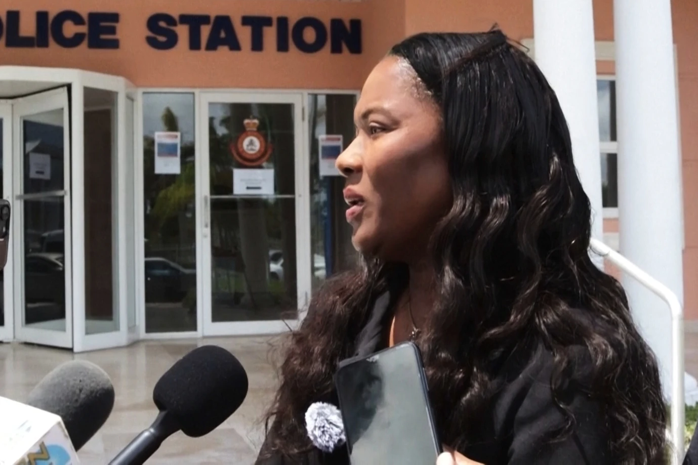
As Erin’s outer rain bands begin to affect the Bahamas, the US National Hurricane Center (NHC) has issued advisories urging residents to prepare for possible evacuations. Aarone Sargent, managing director of the Bahamas' Disaster Risk Management Authority, emphasized the unpredictability of such storms, advising people to identify their nearest shelters and alternative options in case the primary ones fill up.
The NHC predicts that Erin's core will track east of the south-eastern Bahamas and approach the stretch between Bermuda and the US East Coast during the week. With Erin expected to remain a "large and dangerous hurricane," the Outer Banks of North Carolina are gearing up for substantial surf and wind. Authorities have mandated an evacuation of Hatteras Island, cautioning that essential routes could become impassable. Forecasters have also indicated risks of dangerous rip tides stretching along the entire US East Coast.