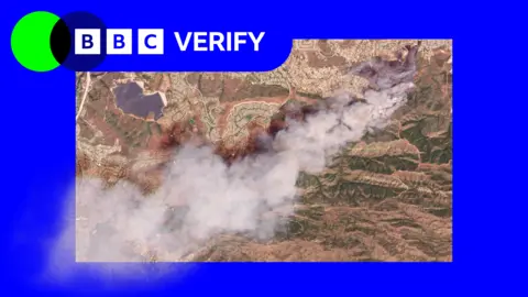
Satellite images have revealed the scale of two wildfires spreading in southern California. The Sandy Fire ignited on Monday morning in the city of Simi Valley, north-west of Los Angeles, according to California Governor Gavin Newsom.
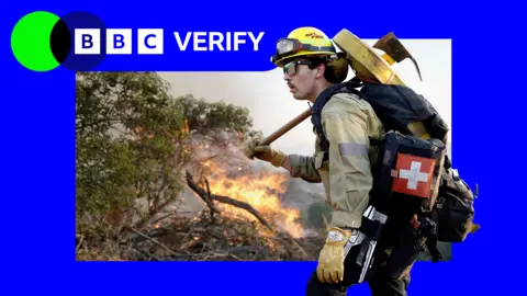
Satellite images taken just after noon local time (20:00 BST) on Monday show a large plume of smoke rising into the air just south of the city. California fire officials said on Tuesday morning that 750 firefighters were being supported by 'night-flying water dropping helicopters' to target hotspots.
The Simi Valley Police Department said it had received a report that an individual 'hit a rock with a tractor', which sparked the fire, according to CBS. The fire had since spread across 1,364 acres (550 hectares) and no part of it has been contained, officials said.
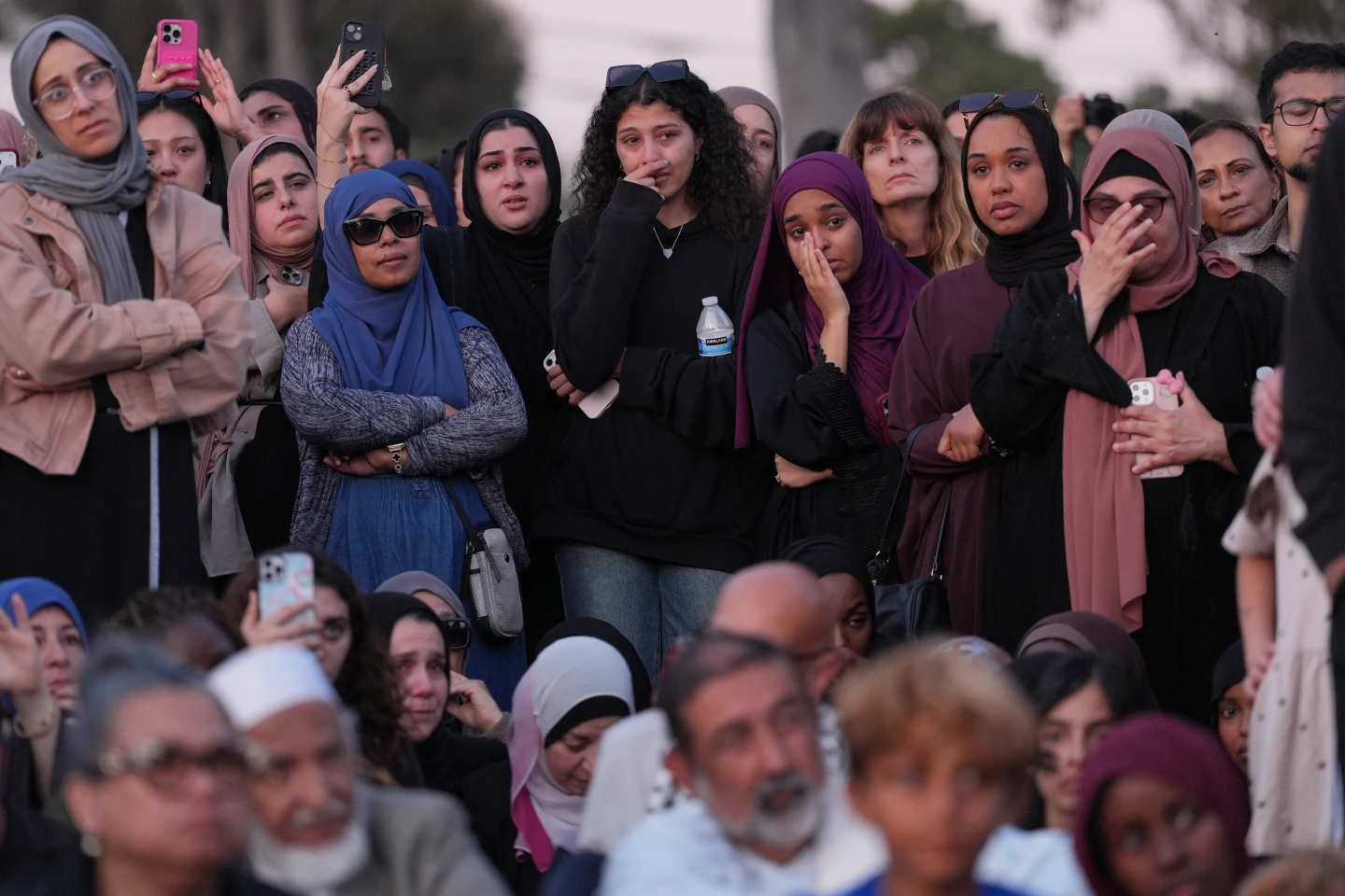
Data from NASA's wildfire monitoring platform shows active hotspots moving further south overnight into Tuesday. More than 10,000 homes have been evacuated from Simi Valley and surrounding communities, Newsom said.
The fire spread is alarming, with an additional 3,500 homes under evacuation warnings extending into neighboring Los Angeles County. Los Angeles mayor Karen Bass stated that while officials don’t expect the blaze to spread to the city, warnings have been issued 'out of an abundance of caution.'
The spread of the fire was exacerbated by high winds on Monday morning, although conditions eased later in the day. Simi Valley Unified School District officials announced that classes would be canceled on all campus grounds on Tuesday.
Previously, significant fires in the Los Angeles area resulted in casualties and extensive property damage, leaving authorities on high alert.