Super‑El Niño brings unprecedented risks
The world has slipped into what UN chief António Guterres calls a "danger zone of extreme weather" as scientists predict that the current El Niño could be the strongest in more than 70 years, and may extend until February 2027. The World Meteorological Organization (WMO) has released data showing Pacific sea‑surface temperatures could rise to almost four degrees celcius above normal—a level that ty‑past El Niño activity has never reached.
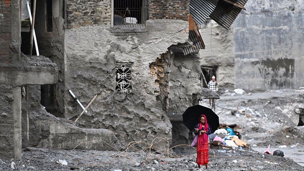
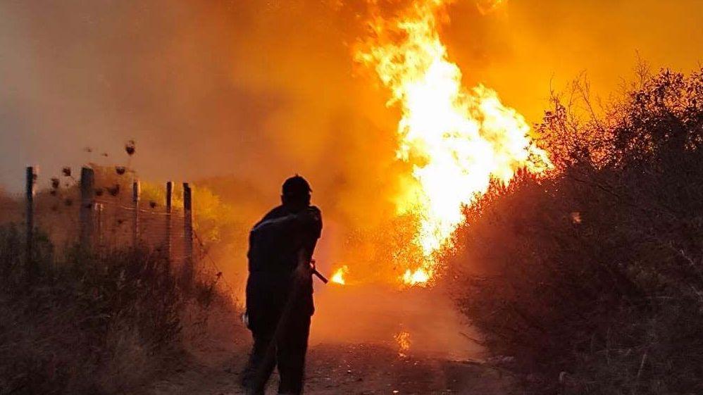
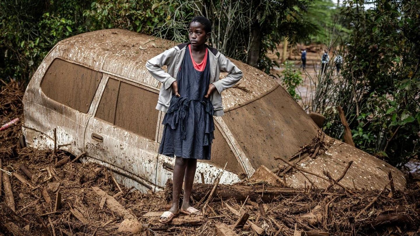
El Niño’s warming is not just a natural cycle; it mixes with long‑term human‑induced heat to create a compound effect, the WMO says. The super‑event is expected to increase rainfall in parts of Asia, Australia and the Americas, while turning many equatorial regions, such as South America and Southeast Asia, into drought‑prone zones. The result could be a mix of heavy floods and fires in different parts of the world at the same time.
Countries are preparing for the worst. The WMO’s Celeste Saulo announced that the agency is "mobilising" to distribute forecasts to as many communities as possible, and governments have upgraded early‑warning systems and are readying medical assistance in response to the risk of mass displacement. Yet the scale of the current event has raised new concerns, especially for vulnerable groups such as island communities, rural farmers and low‑lying urban districts.
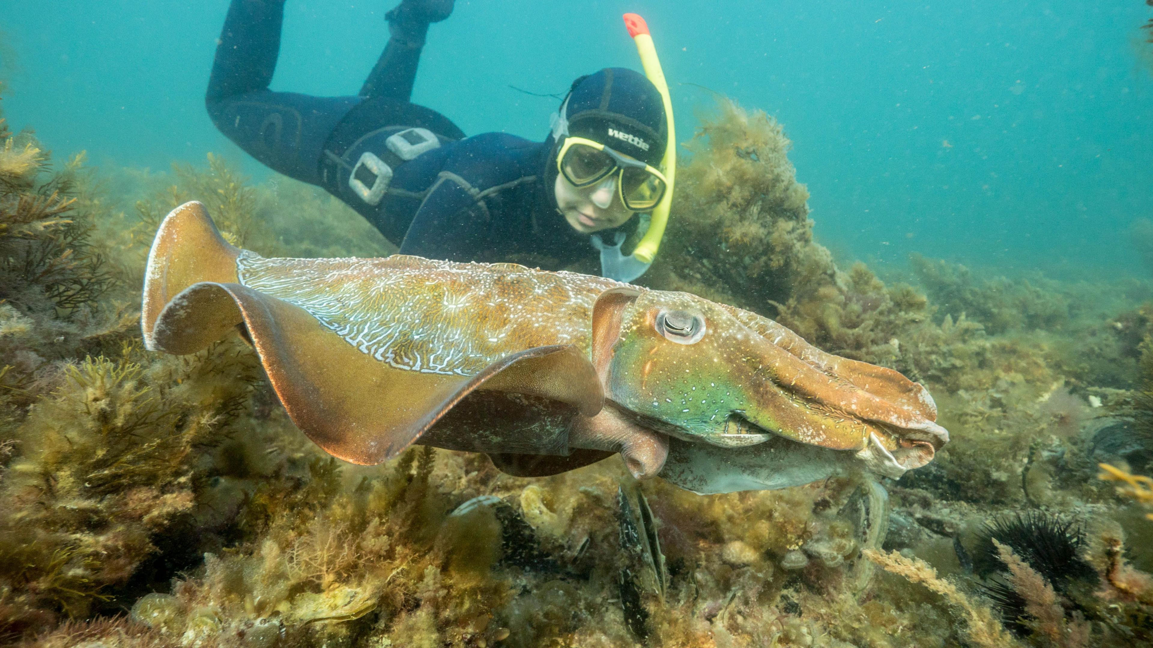
In the Pacific the current heat has spiked over two degrees above average in recent weeks, and models predict a peak of about 4 degrees by late 2026. Below‑sea temperature rises could even get eight degrees above normal in some areas, doubling the threat to marine life. For Australia, the event could intensify marine heatwaves, coral bleaching and the loss of fish stocks—a narrative echoed by Dr Alistair Hobday, chief researcher at the Australian Science Agency, who warns that the summers of 2026‑27 could be "unprecedented".
Elsewhere, the impact is already felt. In Southeast Asia, Indonesia’s forests are battling fires that have burned more than 107,000 hectares of land this dry season, and authorities are seeking to seed clouds to trigger rain. In Zambia and Botswana, once‑dry rivers now show early signs of flooding, catching farming communities off‑guard. Trade has already been affected as Panama’s canal traffic dropped 10 % this year in anticipation of lower rainfall.
In the north of the United States a weather map shows rising rainfall and higher temperatures slipping into California’s Central Valley, increasing the chance of American Southwest flooding. Typhoons‑filled reports from China show that the super‑El Niño may have already linked to seven typhoons this year alone, with the latest Sweep‑out in August forcing over a million people to evacuate their homes.
Across the globe, the combination of a super‑El Niño and an already warmer planet makes future extreme weather more likely to be severe. WMO Secretary‑General Celeste Saulo warns that "the potential for disaster is massive", emphasizing that the emergency is both a natural event and one compounded by climate change. It is up to nations to strengthen resilience, adapt infrastructure and extend early‑warning coverage to keep people safe.
Key stakeholders—including Peru, Ecuador, and Brazil—are in focus, as nations with coastlines along the eastern Pacific. Miguel Aréstegui of Practical Action stresses that climate actions must be tied to long‑term structural fixes such as housing, sanitation, and health systems, rather than just a focus on El Niño preparedness alone.
To keep readers on the pulse, the WMO invites citizens to tune into its own updates and to share community stories. Those wanting direct participation can use the contact link below, which links to a form for questions, concerns or community input about El Niño risks.
– OnPoint NEWSinnovations