Satellite Imagery Shows Devastation of Nepal’s Trishuli River Flood
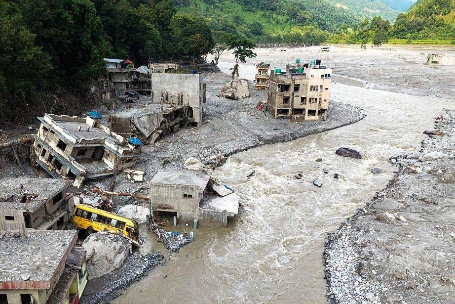
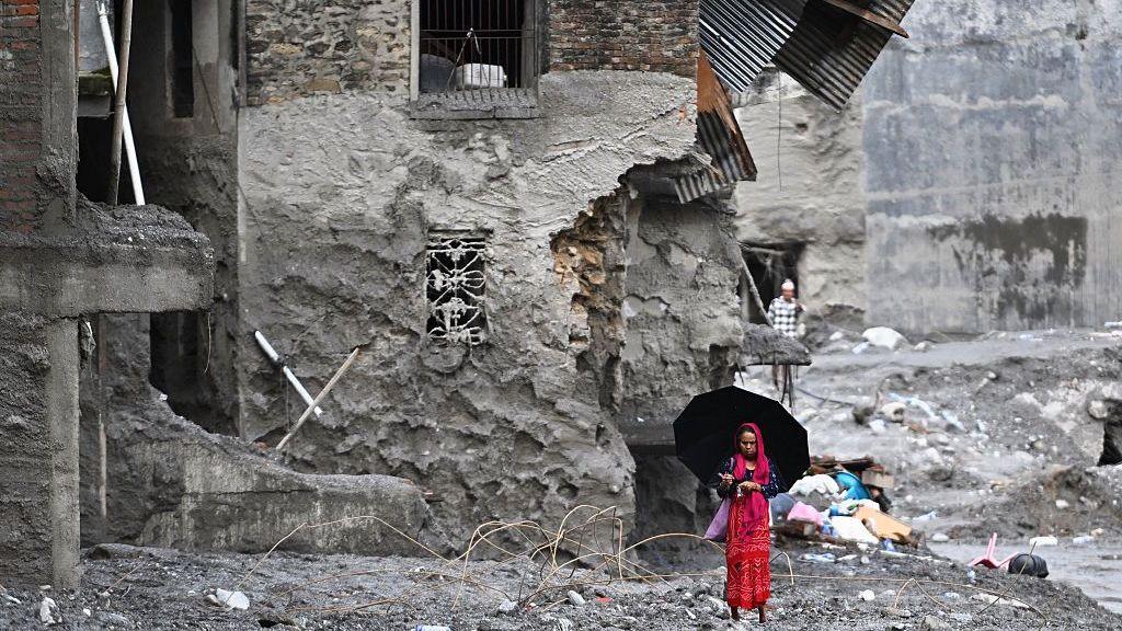
A fleeting glacier collapse in the Himalayas unleashed a torrent that turned the Trishuli River into a wall of water, mud and debris. In the six days since the flood, more than 550 people have been confirmed dead in the valley and hundreds more remain missing. Satellite photos released by the US‑based intelligence firm Vantor, along with those from Planet Labs, give a clear view of the devastation.

The flood’s reach extended more than 2.5 kilometres upstream of the glacial melt, depositing mud and rock atop steep valley walls that were 50 metres high. The village of Timure, situated east of the river, was almost completely erased, with only a few scattered debris left on the landscape.
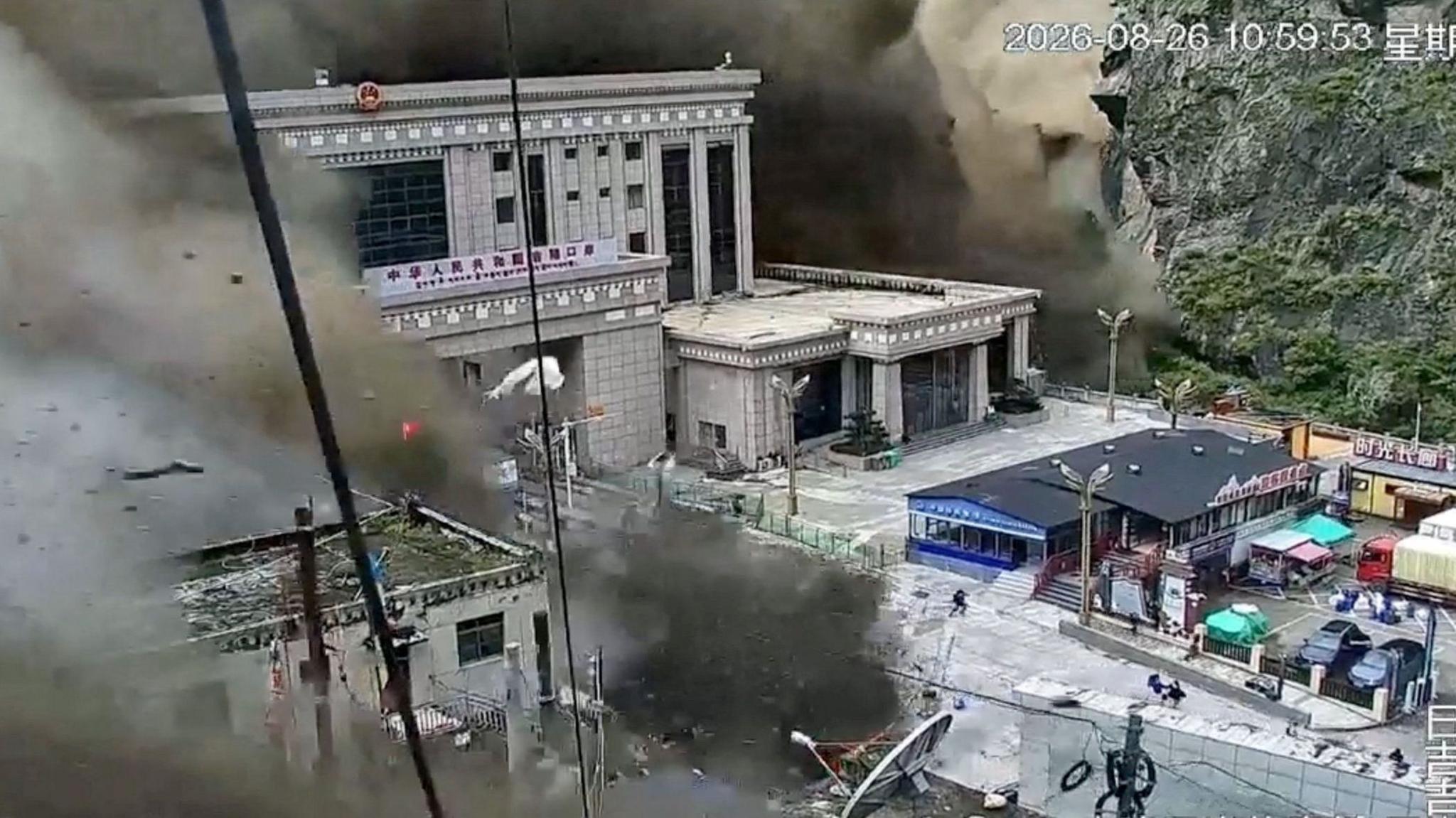
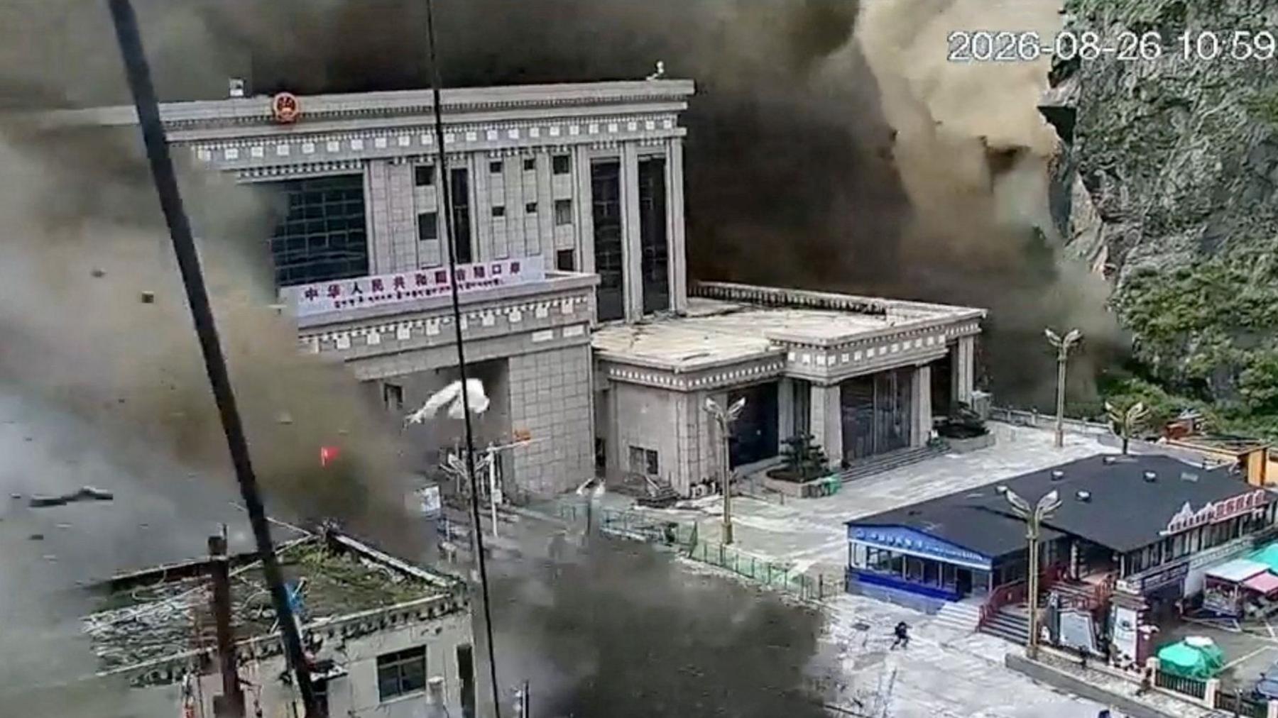
Near the Nepal–Tibet border, the torrent washed away a key crossing point, as captured in a rare CCTV feed. The flood water, travelling at an estimated 200 km/h, demolished a hydroelectric power station and several bridges before shockwaves spread downstream for at least 10 kilometres, destroying houses and infrastructure in the towns of Syapru Besi and Trishuli.
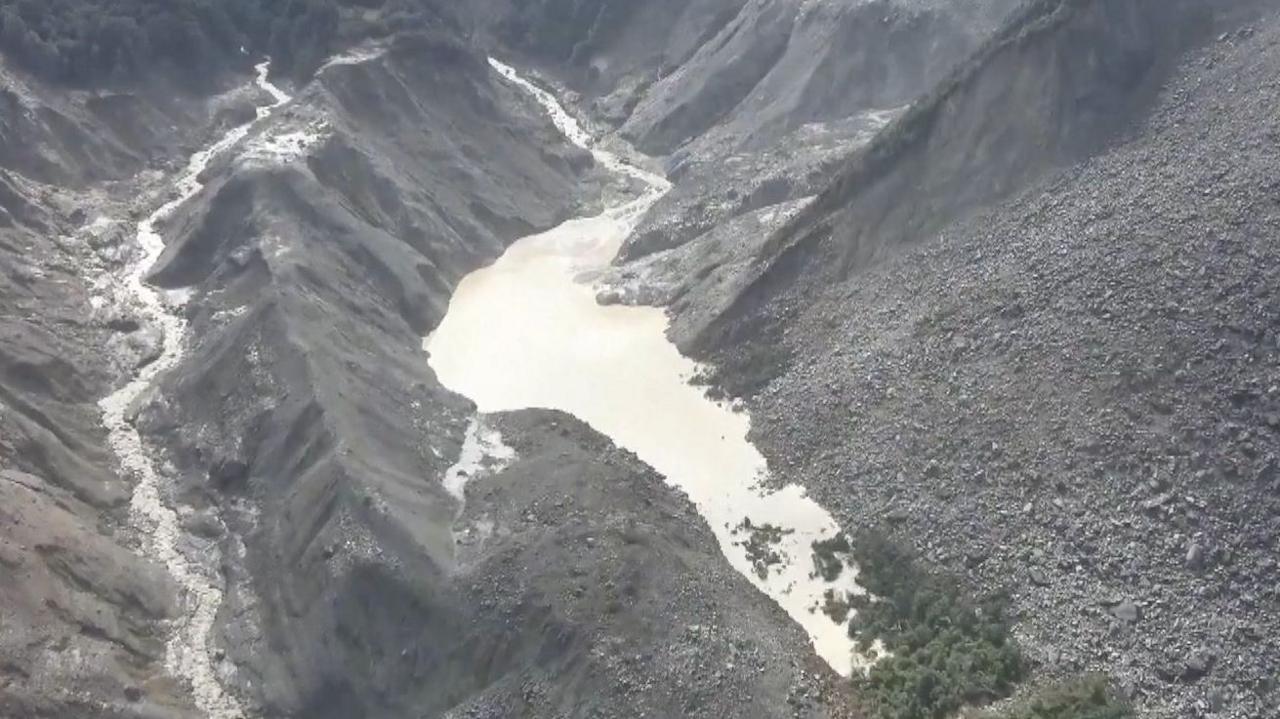
In the days following the storm, the satellite data highlighted the formation of a barrier lake at the river’s lower reaches. Chinese authorities have warned that this lake can breach unexpectedly, posing a second wave of flood risk to downstream communities.
A glaciologist with the Indian Institute of Science Education and Research, Dr. Argha Banerjee, said the lake appears stable given a visible drainage channel, but it is too early to be certain if the water will suddenly escape. The rapid melting and sudden release of meltwater is a dramatic illustration of the growing impact of climate change on Himalayan glacial systems.
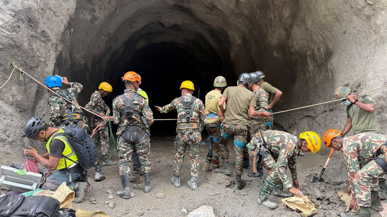
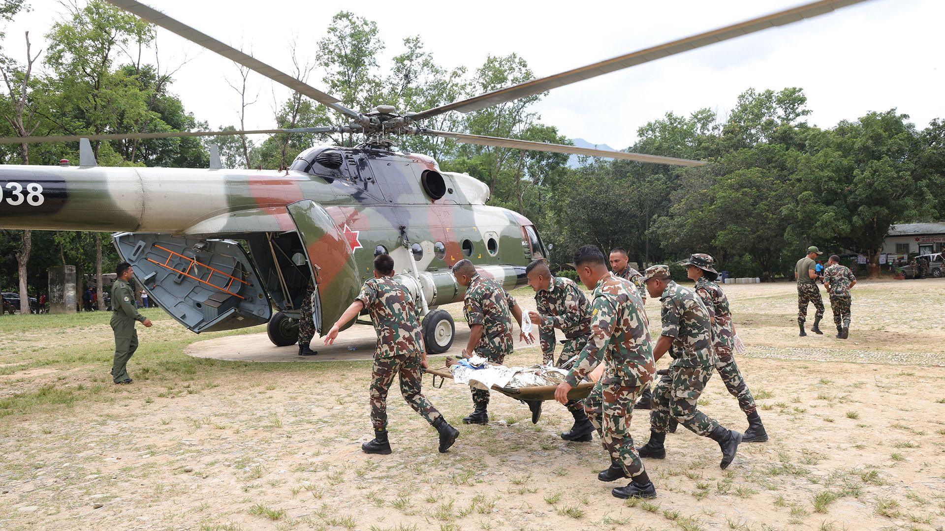
Rescue teams are using the satellite images to target where aid can be delivered most effectively; missing persons are being located, and survivors are being photographed in shelters that still stand. The Vantor Open Data Program is committed to sharing these images with international agencies and local authorities to accelerate recovery efforts and provide transparency for affected communities.