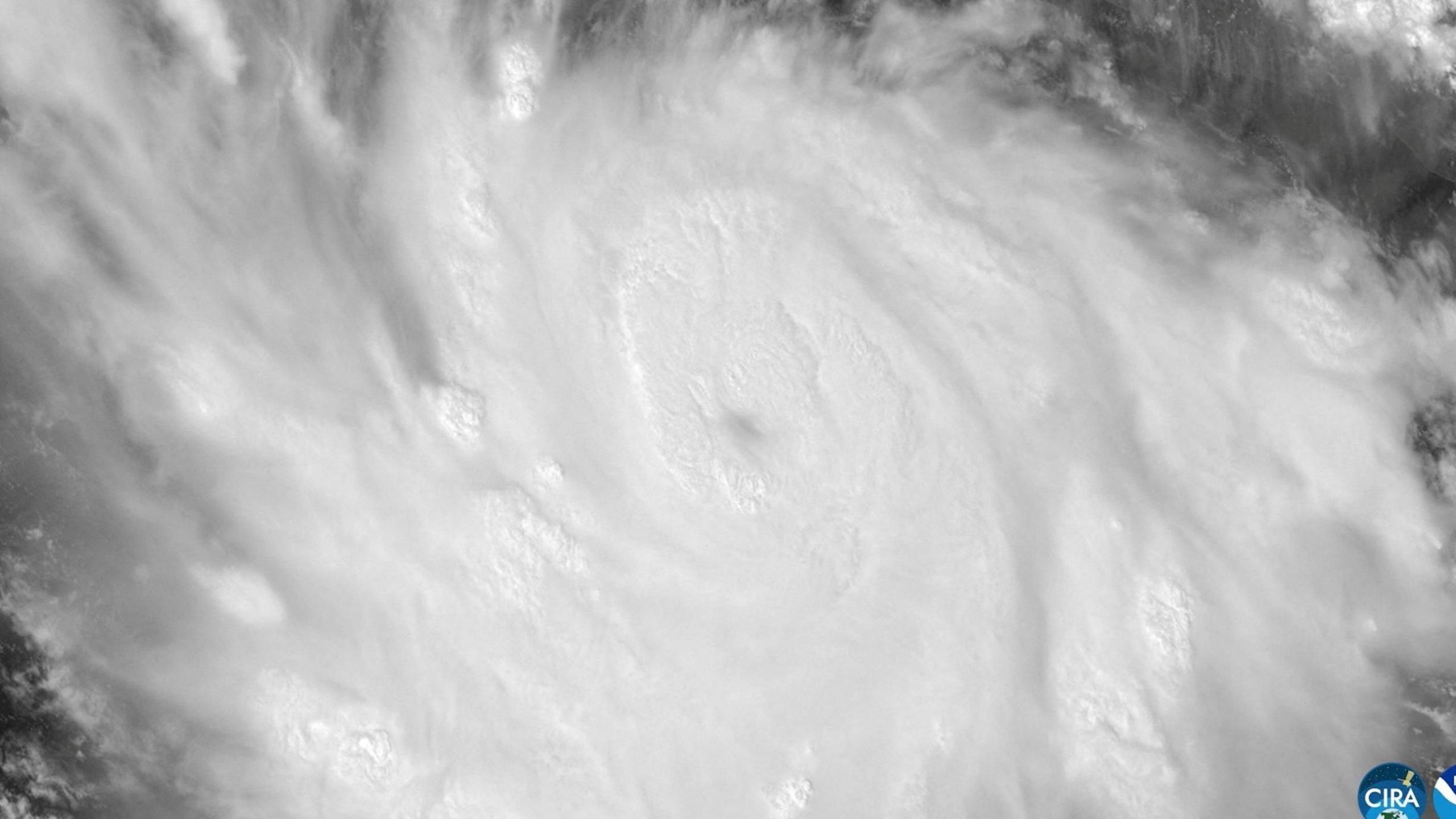
Polo a Category 4 hurricane but still a big threat
US National Hurricane Center says Polo has been downgraded from Category 5 to Category 4, but it still carries sustained winds near 180 mph and remains a major power for the Pacific.
A US NOAA Hurricane Hunter aircraft captured these wind speeds on Tuesday, with sharper gusts that can cause coastal damage even without direct landfall.
Heavy rainfall is forecast, with totals up to six inches in some areas and up to eight inches in others. The storm could trigger life‑threatening floods and mudslides, especially in steep terrain along Mexico’s southwestern coast.
El Niño waters, the strongest on record, are feeding Polo with warmth and energy. Daily sea‑surface temperatures in the central‑eastern Pacific were 3.05 ℃ above average, driving stronger winds and an extended storm life‑cycle.
Mexico’s President Claudia Sheinbaum cautioned residents that Polo will not make a direct landfall, but warned of two intense warnings in effect: a tropical storm warning for portions of the coast and a watch west of Playa Perula. The official forecast predicts that conditions will develop by Wednesday, with the warning areas transitioning by Thursday.
Forecast maps show Polo skirting offshore and moving northwest while keeping the forecast track parallel to Michoacán, Colima and Jalisco. The WHO style map highlights the uncertainty cone and marks the storm’s projected Category 4 intensity.

Mexican officials emphasize that the storm’s inland surge will impact only the coastal and near‑shore areas, with a strong wave pattern that could produce hazardous surf conditions for several days.
NOAA notes that Polo could still strengthen, thanks to the “very conducive” environment created by the warm water and minimal wind shear. The storm’s future is tied to these oceanic temperatures, which are expected to peak later this year.