Drone captures devastating aftermath of Spokane wildfires
In August, severe wildfires in Spokane, Washington, raged across 10,000 acres, destroying more than 900 homes and forcing the evacuation of over 64,000 residents.
The fires, fueled by drought and wind, were the highest firefighting priority in the U.S., according to national firefighting agencies. Despite the scale, no serious injuries or deaths were reported in the city.
Aerial footage taken by drones shows scorched landscapes, charred roofs, and smoke plumes stretching miles over the region.
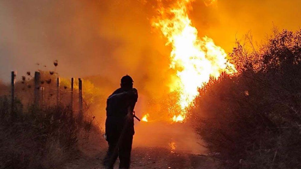
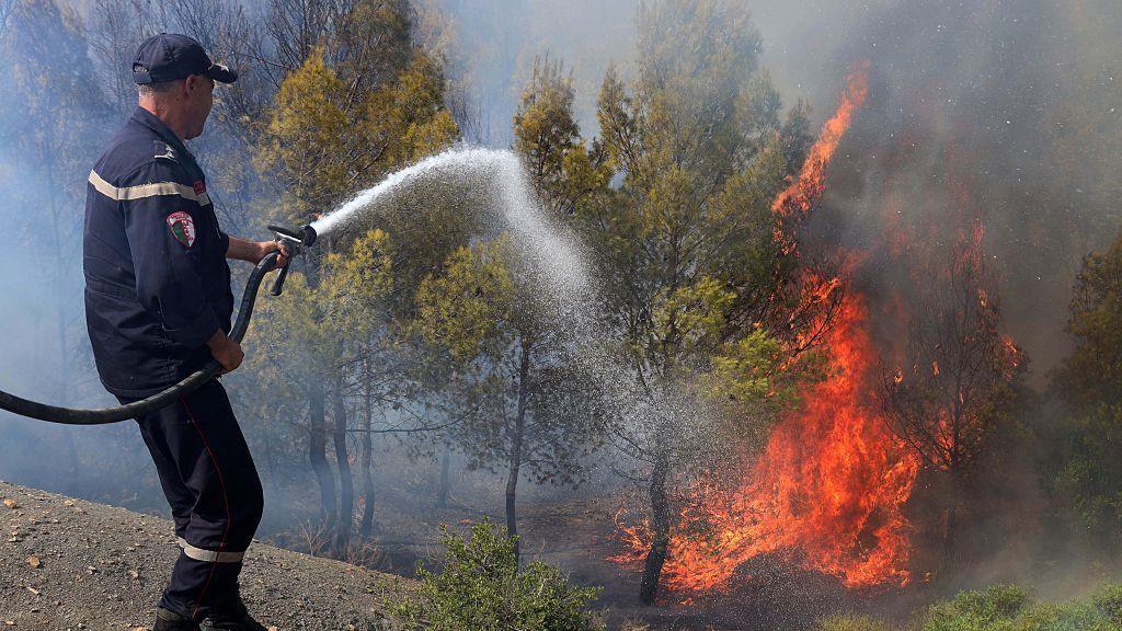
Firefighters have deployed extensive resources, including aerial water drops and ground teams, to combat the blaze while coordinating with evacuation centers across the state.
Local officials urge residents in high‑risk areas to stay alert and follow evacuation orders, emphasizing that the flames could spill into neighboring communities if winds shift.